Últimos 6 diasRole para a esquerda para os últimos 6 diasAgora
Next 3 days weather summary:
Chuva intensa (total 21.0mm), mais intensa durante Terça à noite. quente (máx. 29°C na Qui à tarde, mín 15°C na Terça à noite). o vento será geralmente fraco.
Dias 4-6 Igls Resumo do Tempo
Chuva intensa (total 45.0mm), mais intensa durante Sexta à noite. quente (máx. 28°C na Sexta à tarde, mín 10°C no Domingo à noite). o vento será geralmente fraco.
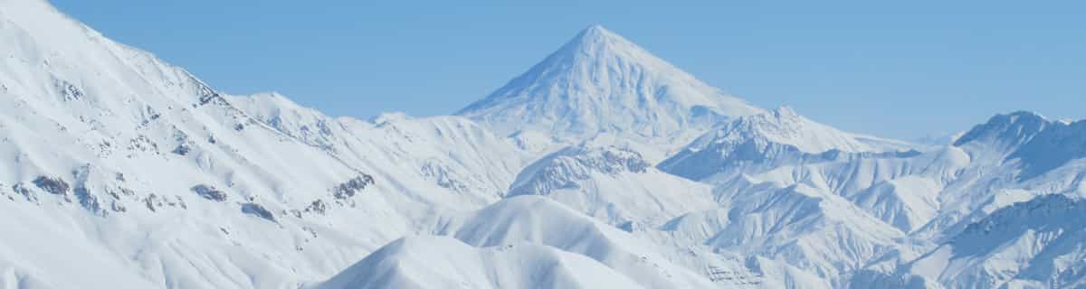
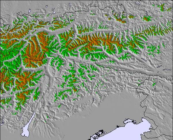
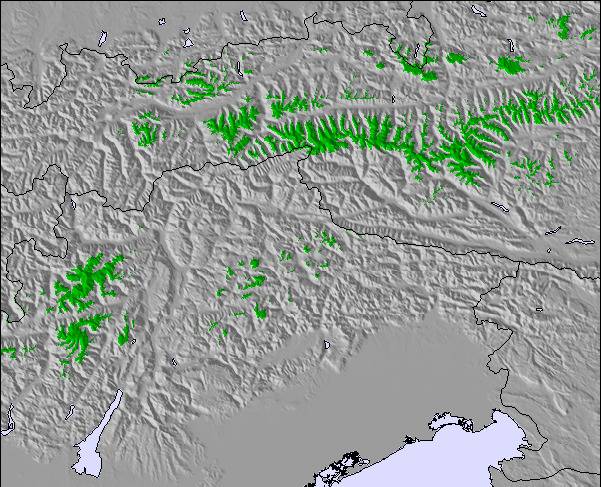
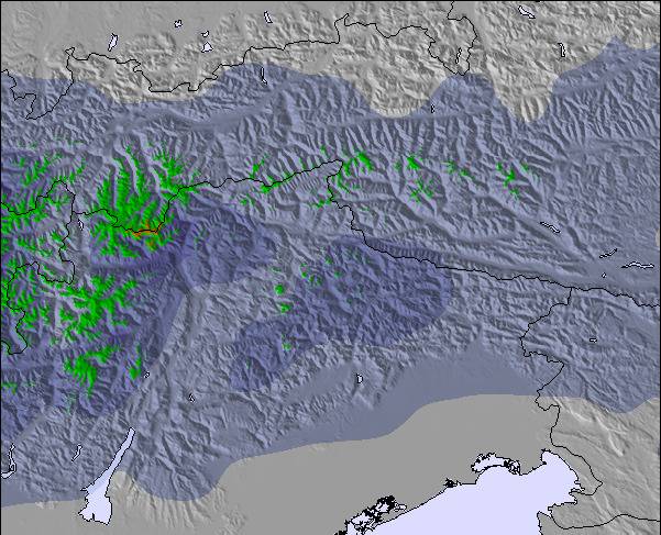
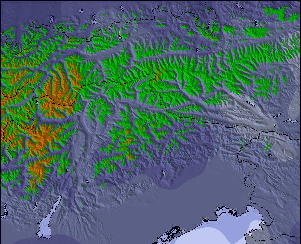
As tabelas acima dão a previsão do tempo para Igls à altitude específica de 870 m. Nossos sofisticados modelos de tempo permitem-nos obter a previsão de neve para estações no topo, na parte média e na baixa de Igls. Para acessar a previsão do tempo para outras elevações, utilize o botão tab acima da tabela. Para uma visão mais ampla do tempo, dê uma olhada em Weather Map" of Austria.
Click here para ler mais informações sobre os níveis de congelamento e de como nós prevemos nossas temperaturas.
18-01-06 to 21-01-06
Well what can I say, the snow was awesome, out of this world. Food in the mountains was superb, highly recommend the goulash soup, top grub, can't beat it, and reasonably priced.
We went on the three night trip with Lastminute.com (bargain at £99) and enjoyed two full days skiing on fresh powder on uncrowded pistes.
We stayed at the Gruberhof Hotel which although resembled 30's Moscow, we could not fault the hospitality and food; it more than made up for it.
If you want a short skiing break in Austria, with a short transfer (25 mins) on a scheduled flight then its "Happy Days".
O widget abaixo das condições do tempo para esqui na estação Igls está disponível gratuitamente para ser postado nos sítios externos. Ele disponibiliza um resumo diário do nosso prognóstico de neve e das condições atuais do tempo para Igls. Simplesmente vá à página de configuração de avisos e siga três passos simples para adquirir o código html adequado e copie no seu website. Você pode escolher o prognóstico de neve para altitudes (pico, média elevação ou base) e as unidades métricas ou imperiais para exibir de acordo com a sua preferência no seu website.... Clique aqui para obter o código


 Nearest