snowy resort image
Esqui Austria

Prognóstico de neve para Vent/Stablein

Previsão de neve para Vent-Stablein 2270 m
Emitido: 1 pm  01 Oct 2025 (hora local)

Próxima neve em Vent/Stablein

0.1cm0.04in
Qua 1st (PM)
A previsão de neve para Vent/Stablein é de: principalmente seco. Condições de congelação e descongelação (máx. 4°C na Sexta à tarde, mín -3°C na Quarta à noite). o vento será geralmente fraco.

Vent/Stablein Weather (Next 3 days): The snow forecast for Vent/Stablein is: principalmente seco. Condições de congelação e descongelação (máx. 4°C na Sexta à tarde, mín -3°C na Quarta à noite). o vento será geralmente fraco.

Vent/Stablein Weather (Days 4-6): Chuva fraca (total 9.0mm), caindo principalmente no Domingo de manhã. Muito leve (máx. 10°C na Terça de manhã, mín 3°C no Domingo de manhã). o vento será geralmente fraco.


Neve ao vivo em Vent/Stablein

AltitudeProfundidade da neveTemp (°C)Vento (km/h)Tempo
Top Lift: 0.0m
-3
5
snow showers
Subida intermédia : 
0
5
snow showers
Bottom Lift: 0.0m
4
5
rain showers
Desenvolvido por Snow-Forecast.comSnow-Forecast.com
6 Day Forecast
Emitido: 1 pm 01 Oct 2025 / Actualizações em ::
Change Forecast Height
Choose Forecast
Last 6 daysScroll left for last 6 daysNow
Wed
1
Thursday
2
Friday
3
Saturday
4
Sunday
5
Monday
6
Tuesday
7
tarde
noite
manhã
tarde
noite
manhã
tarde
noite
manhã
tarde
noite
manhã
tarde
noite
manhã
tarde
noite
manhã
tarde
noite
snow showers
clear
clear
clear
clear
clear
part cloud
part cloud
clear
part cloud
light rain
rain showers
clear
clear
clear
clear
clear
clear
clear
clear
Neve
fraca
céu limpo
céu limpo
céu limpo
céu limpo
céu limpo
parcial/ nublado
parcial/ nublado
céu limpo
parcial/ nublado
chuva fraca
aguace­iros
céu limpo
céu limpo
céu limpo
céu limpo
céu limpo
céu limpo
céu limpo
céu limpo
 km/h
10
N
5
N
5
N
5
N
5
NW
5
NW
10
NNW
5
NW
5
NW
5
NW
5
W
10
NW
5
NW
5
W
0
W
0
NW
5
NW
0
WNW
0
WSW
5
NNW
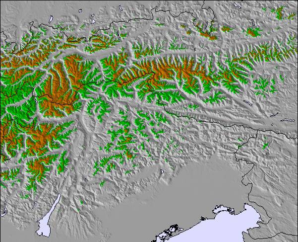
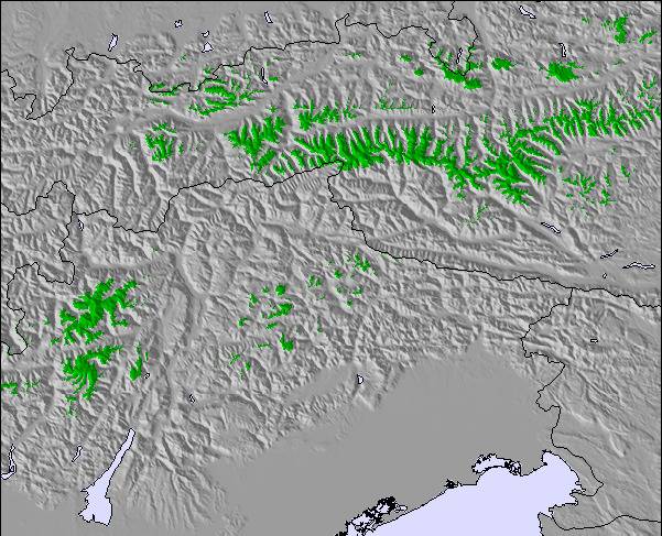
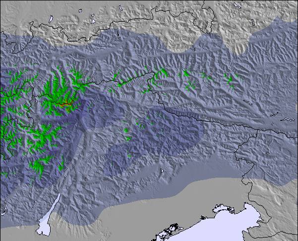
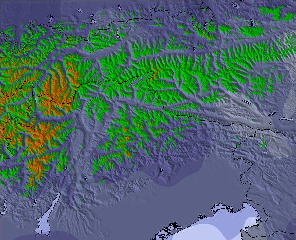
Snow map
 cm
 mm
3
6
max°C
0
-2
0
1
0
3
4
1
4
7
7
3
5
4
7
9
8
10
11
9
min°C
0
-3
-2
1
-1
0
3
0
1
5
5
3
5
3
5
8
7
8
11
8
chill°C
-2
-6
-5
-1
-3
-2
1
-2
-1
4
4
0
4
3
5
8
7
8
11
8
Humid.%
79
40
30
44
23
12
30
71
66
83
79
76
44
31
29
46
35
25
43
40
Nível de
congel. (m)
2200
1700
2250
2450
2200
2600
2650
2350
2850
3150
3700
2900
2900
3050
3450
3550
3800
3950
3950
3850
topliftbotliftNível do mar1000m2000m3000m4000m5000m
-3-5-4-2-3-10-20351224667874-216-137148747261259147
7:15
7:16
7:18
7:18
7:20
7:22
6:57
6:54
6:52
6:51
6:49
6:46
6:45

Últimos relatórios de neve perto de Vent/Stablein:

  • 9 km Ausente de Vent/Stablein

    6 hour atrás
    weather station observation

    Rain reported from Obergurgl at 1937 metres elevation one km SSE of Obergurgl but it is forecast cold enough for snow at higher elevations in the ski area de Obergurgl

  • 12 km Ausente de Vent/Stablein

    6 hour atrás
    weather station observation

    Light rain showers reported from Pitztaler Gletscher at 2848 metres elevation only 4 kms SSE of Pitztal Glacier but it is forecast cold enough for snow at the ski area de Pitztal Glacier

  • 9 km Ausente de Vent/Stablein

    14 hour atrás
    weather station observation

    Light rain showers reported from Obergurgl at 1937 metres elevation one km SSE of Obergurgl but it is forecast cold enough for snow at higher elevations in the ski area de Obergurgl

Vent/Stablein Condições de neve

Profundidade da neve no topo 0cm
Profundidade da neve mais baixa0cm
Profundidade da queda de neve fresca1cm
Quando foi a última vez que nevou?30 Sep 2025
Outras estâncias em Austria estão a reportar: pó (1) / pista boa (1)

Snow-Forecast Partner Offers

Histórico de Neve

Semana 1 do mês October teve uma média de:
0.1
Dias de sol com neve pó
Neve fresca, principalmente ensolarado, vento fraco.
0.4
Dias de neve pó
Neve fresca, sol limitado, qualquer vento.
0.0
dias de sol
Neve média, na maioria das vezes ensolarado, vento fraco.