Últimos 6 diasRole para a esquerda para os últimos 6 diasAgora
Next 3 days weather summary:
Chuva intensa (total 27.0mm), mais intensa durante Terça à noite. quente (máx. 25°C na Qui à tarde, mín 15°C na Terça à noite). o vento será geralmente fraco.
Dias 4-6 Seefeld-Reith/Gschwandtkopf Resumo do Tempo
Chuva intensa (total 46.0mm), mais intensa durante Sexta à tarde. quente (máx. 24°C na Sexta à tarde, mín 10°C no Domingo à noite). o vento será geralmente fraco.
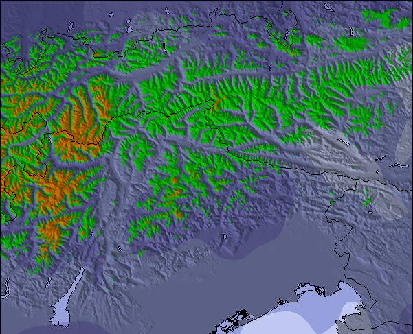
As tabelas acima dão a previsão do tempo para Seefeld-Reith/Gschwandtkopf à altitude específica de 1350 m. Nossos sofisticados modelos de tempo permitem-nos obter a previsão de neve para estações no topo, na parte média e na baixa de Seefeld-Reith/Gschwandtkopf. Para acessar a previsão do tempo para outras elevações, utilize o botão tab acima da tabela. Para uma visão mais ampla do tempo, dê uma olhada em Weather Map" of Austria.
Click here para ler mais informações sobre os níveis de congelamento e de como nós prevemos nossas temperaturas.
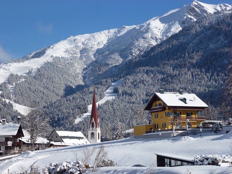
Nome do resort é também escrito como Seefeld-Reith-Gschwandtkopf.
Avaliações dos visitantes de Seefeld-Reith/Gschwandtkopf
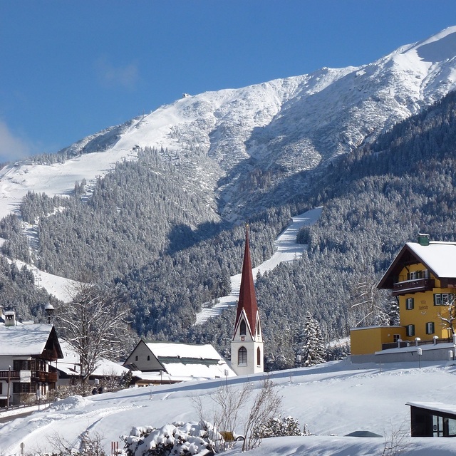
On the face of it Seefeld's second mountain has little to attract the diehard skier, but that would be to do the area a serious injustice!
With a vertical of only 300m this puts the Geschwandtkopf on a par and scale with say Glenshee, but beyond that all the comparables end. Why? Because all the runs are north facing so are snow sure through the season, the pistes are all deserted, so very little if any ice and the mountain has two FIS rated race pistes which many national teams train and race on.
Overall, the skiing is best suited to intermediates and beginners but advanced skiers will have a good day here too.
Add to all of this the subline views of the Inn Valley and Seefeld plateau, the high quality and very reasonably priced Sportalm at the bottom, which is perfect for celebrity spotting (we saw Claudia Schiffer there one Sunday!) and the fact that Seefeld is one of the best all-round winter sports resort in the Alps and you have the perfect ingredients for a very enjoyable day or two as an alternative Seefeld's other ski area the Rosshutte.
Recommended in small doses as part of a weeks stay in beautiful Seefeld.
Avaliações dos visitantes de Seefeld-Reith/Gschwandtkopf
Geral: 3.9 baseado em 12 Votos e 1 avaliação
Garantia de neve
4.0
Variedade de Pistas
2.3
Fora de pista
2.5
Cenário
4.0
Apres-ski
3.3
Tirolerhund de United Kingdom escreve:
On the face of it Seefeld's second mountain has little to attract the diehard skier, but that would be to do the area a serious injustice!
With a vertical of only 300m this puts the Geschwandtkopf on a par and scale with say Glenshee, but beyond that all the comparables end. Why? Because all the runs are north facing so are snow sure through the season, the pistes are all deserted, so very little if any ice and the mountain has two FIS rated race pistes which many national teams train and race on.
Overall, the skiing is best suited to intermediates and beginners but advanced skiers will have a good day here too.
Add to all of this the subline views of the Inn Valley and Seefeld plateau, the high quality and very reasonably priced Sportalm at the bottom, which is perfect for celebrity spotting (we saw Claudia Schiffer there one Sunday!) and the fact that Seefeld is one of the best all-round winter sports resort in the Alps and you have the perfect ingredients for a very enjoyable day or two as an alternative Seefeld's other ski area the Rosshutte.
Recommended in small doses as part of a weeks stay in beautiful Seefeld.
O widget abaixo das condições do tempo para esqui na estação Seefeld-Reith/Gschwandtkopf está disponível gratuitamente para ser postado nos sítios externos. Ele disponibiliza um resumo diário do nosso prognóstico de neve e das condições atuais do tempo para Seefeld-Reith/Gschwandtkopf. Simplesmente vá à página de configuração de avisos e siga três passos simples para adquirir o código html adequado e copie no seu website. Você pode escolher o prognóstico de neve para altitudes (pico, média elevação ou base) e as unidades métricas ou imperiais para exibir de acordo com a sua preferência no seu website.... Clique aqui para obter o código


 Nearest