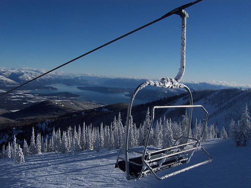
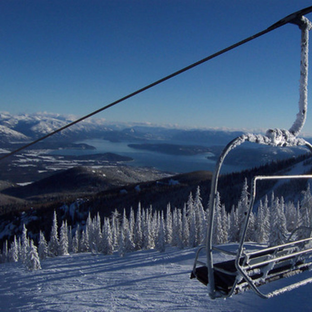
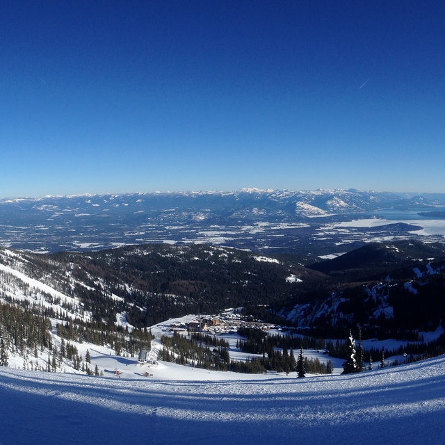
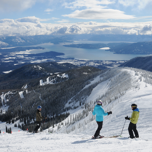
Previsão meteorológica para Schweitzer Mountain em1219m altitude
Emitido: 10 am 13 Jul 2026 (hora local)
Previsão de neve atualizada em hora min
View forecast
Schweitzer Mountainat 1219 m altitude
Emitido por Snow-Forecast.com em:10 am (hora local) / 13 Jul 2026
Últimos 6 diasRole para a esquerda para os últimos 6 diasAgora
Next 3 days weather summary:
principalmente seco. quente (máx. 28°C na Quarta à tarde, mín 14°C na Terça à noite). o vento será geralmente fraco.
Dias 4-6 Schweitzer Mountain Resumo do Tempo
Chuva fraca (total 4.0mm), caindo principalmente na Qui à noite. quente (máx. 31°C na Sexta à tarde, mín 15°C no Sábado à noite). o vento será geralmente fraco.
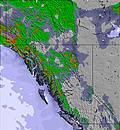
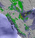
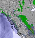
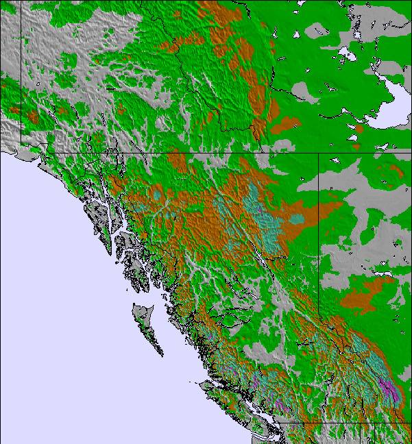
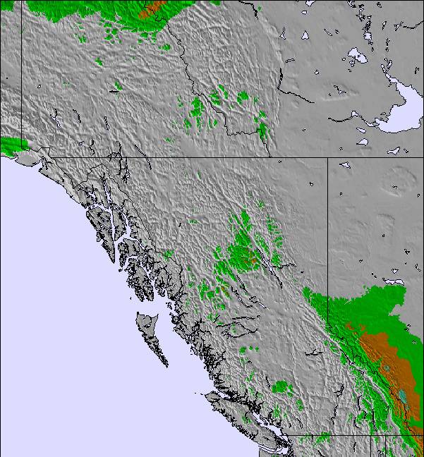
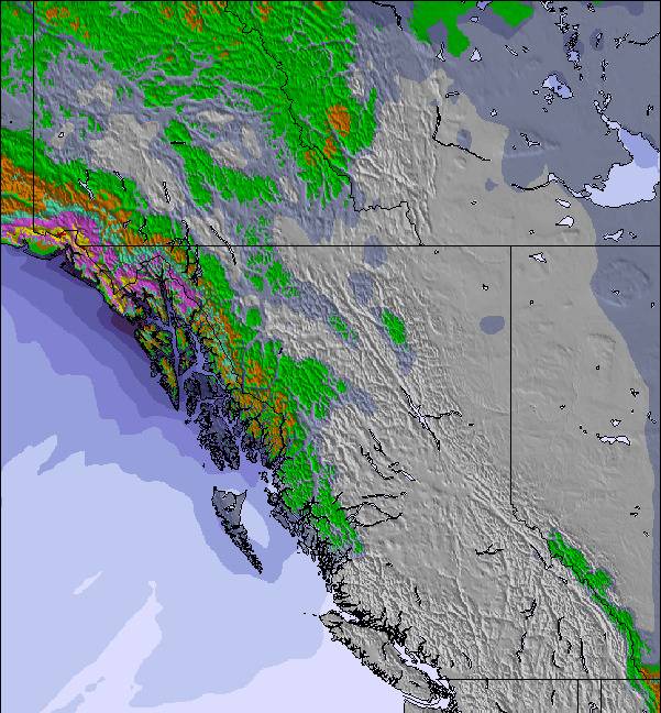
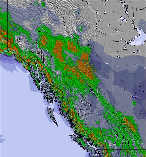
As tabelas acima dão a previsão do tempo para Schweitzer Mountain à altitude específica de 1219 m. Nossos sofisticados modelos de tempo permitem-nos obter a previsão de neve para estações no topo, na parte média e na baixa de Schweitzer Mountain. Para acessar a previsão do tempo para outras elevações, utilize o botão tab acima da tabela. Para uma visão mais ampla do tempo, dê uma olhada em Weather Map" of United States.
Click here para ler mais informações sobre os níveis de congelamento e de como nós prevemos nossas temperaturas.
I grew up skiing this resort, but have lived in Seattle for years. Always missed my hometown so returned a couple years ago. I bought a pass up a Schweitzer last year and the season was plagued by warmer weather and moderate snow. Still, had a decent season and skied at least 2 days every week. The problem was how they handled the pandemic. They closed the mountain a month early in March with no notice. I take this virus very seriously, but they could have simply closed the lodge facilities and still required masks. Sadly, March was one of the best snow months! I called the resort this August expecting them to honour discounts for returning pass holders. Instead, I found they actually raised the price by 50 bucks! My friends told me they had become notoriously bad in customer service. Now I see what they mean. Great for a visit or 2 per season, but don't buy a pass here, they don't value return business. Plenty of great resorts to choose from in the area
I grew up skiing this resort, but have lived in Seattle for years. Always missed my hometown so returned a couple years ago. I bought a pass up a Schweitzer last year and the season was plagued by warmer weather and moderate snow. Still, had a decent season and skied at least 2 days every week. The problem was how they handled the pandemic. They closed the mountain a month early in March with no notice. I take this virus very seriously, but they could have simply closed the lodge facilities and still required masks. Sadly, March was one of the best snow months! I called the resort this August expecting them to honour discounts for returning pass holders. Instead, I found they actually raised the price by 50 bucks! My friends told me they had become notoriously bad in customer service. Now I see what they mean. Great for a visit or 2 per season, but don't buy a pass here, they don't value return business. Plenty of great resorts to choose from in the area
O widget abaixo das condições do tempo para esqui na estação Schweitzer Mountain está disponível gratuitamente para ser postado nos sítios externos. Ele disponibiliza um resumo diário do nosso prognóstico de neve e das condições atuais do tempo para Schweitzer Mountain. Simplesmente vá à página de configuração de avisos e siga três passos simples para adquirir o código html adequado e copie no seu website. Você pode escolher o prognóstico de neve para altitudes (pico, média elevação ou base) e as unidades métricas ou imperiais para exibir de acordo com a sua preferência no seu website.... Clique aqui para obter o código


 Nearest