

Portillo Re-Opens To Guests Arriving By Helicopter
Chile’s famous Portillo ski resort is reported to have re-opened to guests arriving by helicopter after being cut off by road for more than two weeks by over 6m/20 feet of snowfall.

Next 3 days weather summary:Chuva intensa (total 27.0mm), mais intensa durante Quarta à noite. quente (máx. 26°C na Segunda à tarde, mín 16°C na Quarta à noite). o vento será geralmente fraco. | Dias 4-6 Leogang Resumo do TempoChuva intensa (total 42.0mm), mais intensa durante Quinta à noite. quente (máx. 21°C na Qui à tarde, mín 13°C na Qui à noite). o vento será geralmente fraco. | ||||||||||||||||
Seg 3 | Terça 4 | Quarta 5 | Quinta 6 | Sexta 7 | Sábado 8 | ||||||||||||
tarde | noite | manhã | tarde | noite | manhã | tarde | noite | manhã | tarde | noite | manhã | tarde | noite | manhã | tarde | noite | |
chuva fraca | aguaceiros | céu limpo | parcial/ nublado | aguaceiros | Risco Trovoada | Risco Trovoada | chuva forte | Risco Trovoada | Risco Trovoada | chuva forte | chuva mod. | Risco Trovoada | aguaceiros | céu limpo | Risco Trovoada | aguaceiros | |
km/h | |||||||||||||||||
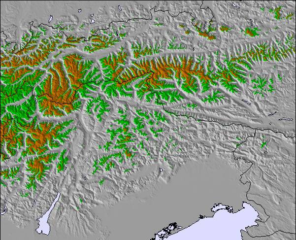
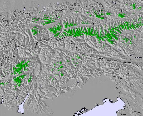
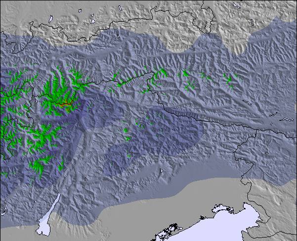
Mapa de neve |  |  |  |  |  |  | |||||||||||
— | — | — | — | — | — | — | — | — | — | — | — | — | — | — | — | — | |
mm | 2 | 2 | — | — | 1 | 2 | 6 | 11 | 3 | 11 | 12 | 7 | 5 | 2 | — | 3 | 2 |
max °C | 26 | 20 | 24 | 26 | 23 | 21 | 23 | 19 | 20 | 21 | 15 | 13 | 16 | 15 | 18 | 19 | 17 |
min °C | 19 | 18 | 21 | 25 | 18 | 18 | 22 | 16 | 18 | 19 | 13 | 13 | 15 | 14 | 14 | 18 | 15 |
chill °C | 19 | 18 | 21 | 25 | 18 | 18 | 22 | 16 | 18 | 19 | 13 | 13 | 15 | 14 | 14 | 18 | 15 |
Humid. % | 63 | 56 | 42 | 46 | 55 | 65 | 64 | 92 | 68 | 73 | 93 | 99 | 86 | 89 | 70 | 71 | 82 |
Nível de congel. m | 4450 | 4500 | 4500 | 4550 | 4600 | 4450 | 4500 | 4500 | 4400 | 4400 | 4050 | 3800 | 4050 | 4100 | 3950 | 4100 | 4100 |
— | — | 5:48 | — | — | 5:50 | — | — | 5:52 | — | — | 5:52 | — | — | 5:54 | — | — | |
— | 8:40 | — | — | 8:38 | — | — | 8:37 | — | — | 8:36 | — | — | 8:35 | — | — | 8:32 | |
Vire pro e carve em:
Informações de avalanche: European Avalanche Warning Services (EAWS)
Últimos relatórios de neve perto de Leogang:
| Profundidade da neve no topo | — |
|---|---|
| Profundidade da neve mais baixa | — |
| Profundidade da queda de neve fresca | — |
| Quando foi a última vez que nevou? | 16 May 2026 |
0.0 | Dias de sol com neve pó Neve fresca, principalmente ensolarado, vento fraco. |
|---|---|
0.0 | Dias de neve pó Neve fresca, sol limitado, qualquer vento. |
0.0 | dias de sol Neve média, na maioria das vezes ensolarado, vento fraco. |
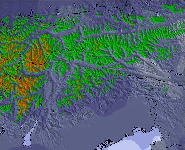
As tabelas acima dão a previsão do tempo para Leogang à altitude específica de 1357 m. Nossos sofisticados modelos de tempo permitem-nos obter a previsão de neve para estações no topo, na parte média e na baixa de Leogang. Para acessar a previsão do tempo para outras elevações, utilize o botão tab acima da tabela. Para uma visão mais ampla do tempo, dê uma olhada em Weather Map" of Austria.
Click here para ler mais informações sobre os níveis de congelamento e de como nós prevemos nossas temperaturas.
Leogang is an excellent access point to the 'Circus' skiing area. Leogang itself is quiet but perfect if you want to spend time with family/friends and not looking for the wild night life. Perfect for the red/blue skier who may tackle the odd black if feeling brave. Introduced to 'heated seat' ski lifts here, not sure anything else will be the same!!
Duncan Martin de United Kingdom escreve:
Leogang is an excellent access point to the 'Circus' skiing area. Leogang itself is quiet but perfect if you want to spend time with family/friends and not looking for the wild night life. Perfect for the red/blue skier who may tackle the odd black if feeling brave. Introduced to 'heated seat' ski lifts here, not sure anything else will be the same!!

 Nearest