Últimos 6 diasRole para a esquerda para os últimos 6 diasAgora
Next 4 days weather summary:
chuva mod. (total 15.0mm), mais intensa no Domingo à noite. Muito ameno (máx. 12°C no Sábado à tarde, mín 6°C na Sexta de noite). o vento será geralmente fraco.
Dias 5-7 Kühtai Resumo do Tempo
Chuva fraca (total 3.0mm), caindo principalmente na Seg à noite. Muito ameno (máx. 15°C na Qui à tarde, mín 8°C na Seg à noite). o vento será geralmente fraco.
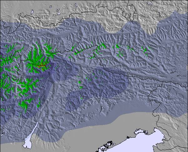
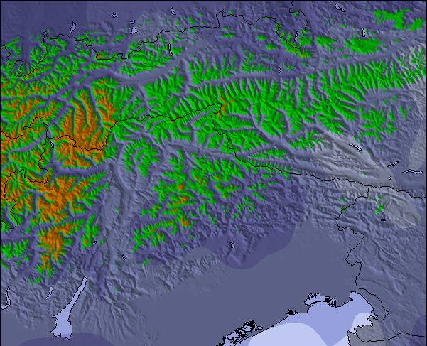
As tabelas acima dão a previsão do tempo para Kühtai à altitude específica de 2270 m. Nossos sofisticados modelos de tempo permitem-nos obter a previsão de neve para estações no topo, na parte média e na baixa de Kühtai. Para acessar a previsão do tempo para outras elevações, utilize o botão tab acima da tabela. Para uma visão mais ampla do tempo, dê uma olhada em Weather Map" of Austria.
Click here para ler mais informações sobre os níveis de congelamento e de como nós prevemos nossas temperaturas.
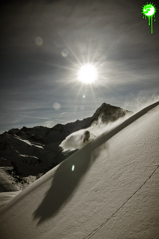
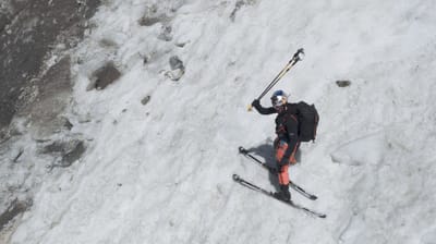
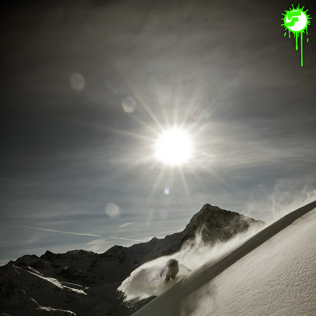
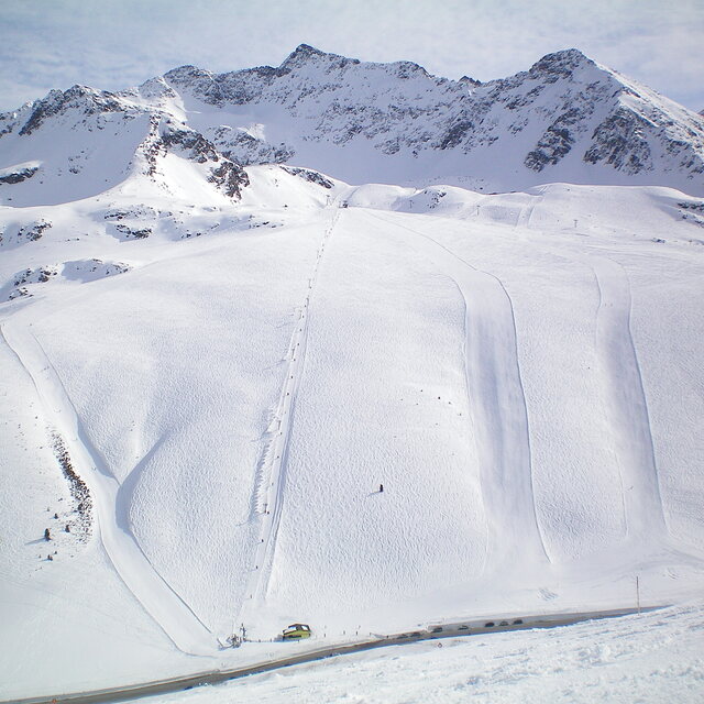
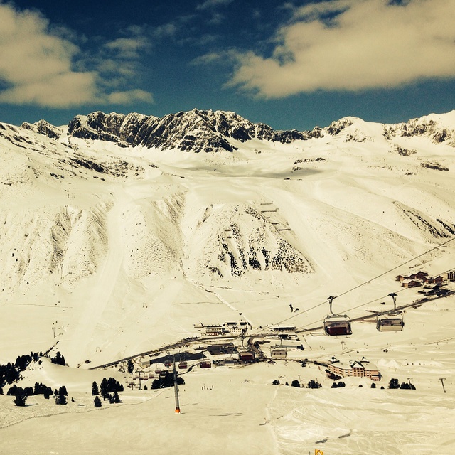
A long overdue review on Kuhtai, which 've skied may times in the past few years. In short, another classic medium size resort with approx 40 km of pistes which the Austrians do so well.
With a base station of 2,000m it's super snow-sure if rather bleak as it's a one street station at the top of a pass, all above the tree line.
Make no mistake though, this is a serious ski resort, sporting a modern lift system with all the pistes being either red or black, save one blue run that finishes at the top of a long red canyon; so it's not a resort for beginners!
Its serious sporting intent is underlined by the fact the the US World Cup Ski Team is based here when the World Cup is in Europe.
The slopes face both north and south so you can follow the sun each day, plus there are plenty of off-piste and back-country opportunities.
Subsistence is good value compared to the big resorts like Soelden, Ischgl and St Anton. But best of all is the fact the pistes are generally deserted on mid week days and there are very few Brits around, so you really feel you are on a foreign holiday.
Overall, highly recommended for long weekend or away days in neighbouring resorts. It's also worth noting the lift pass is shared with nearby Oetz, another similar sized gem.
O widget abaixo das condições do tempo para esqui na estação Kühtai está disponível gratuitamente para ser postado nos sítios externos. Ele disponibiliza um resumo diário do nosso prognóstico de neve e das condições atuais do tempo para Kühtai. Simplesmente vá à página de configuração de avisos e siga três passos simples para adquirir o código html adequado e copie no seu website. Você pode escolher o prognóstico de neve para altitudes (pico, média elevação ou base) e as unidades métricas ou imperiais para exibir de acordo com a sua preferência no seu website.... Clique aqui para obter o código


 Nearest