Emitido por Snow-Forecast.com em:7 am (hora local) / 10 Jul 2026
Últimos 6 diasRole para a esquerda para os últimos 6 diasAgora
Next 3 days weather summary:
Chuva fraca (total 3.0mm), caindo principalmente na Sexta de noite. Muito ameno (máx. 18°C na Sexta à tarde, mín 10°C no Sábado à noite). o vento será geralmente fraco.
Dias 4-6 Hochfügen Resumo do Tempo
Chuva fraca (total 6.0mm), caindo principalmente na Seg à noite. Muito ameno (máx. 19°C na Quarta à tarde, mín 11°C na Seg à noite). o vento será geralmente fraco.
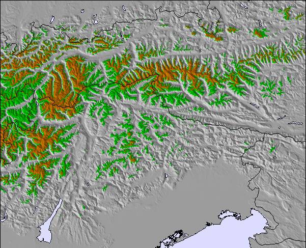
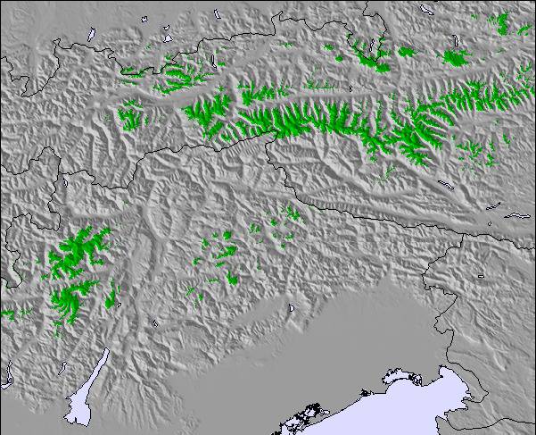
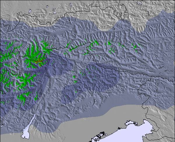
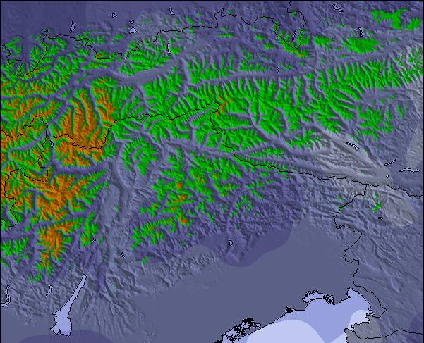
As tabelas acima dão a previsão do tempo para Hochfügen à altitude específica de 1999 m. Nossos sofisticados modelos de tempo permitem-nos obter a previsão de neve para estações no topo, na parte média e na baixa de Hochfügen. Para acessar a previsão do tempo para outras elevações, utilize o botão tab acima da tabela. Para uma visão mais ampla do tempo, dê uma olhada em Weather Map" of Austria.
Click here para ler mais informações sobre os níveis de congelamento e de como nós prevemos nossas temperaturas.
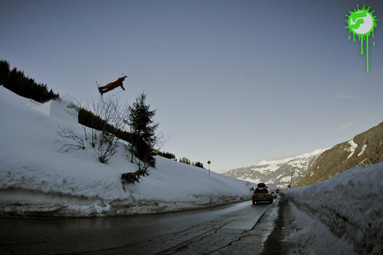
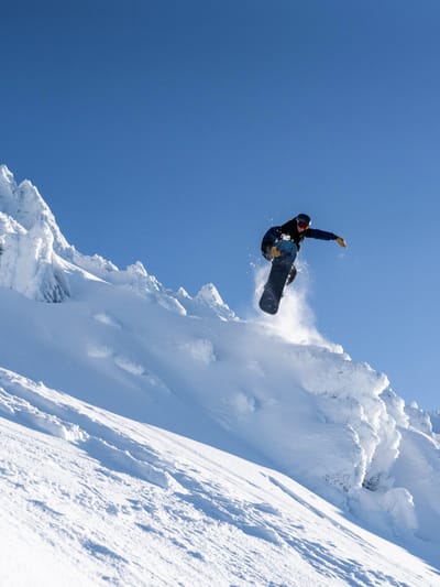
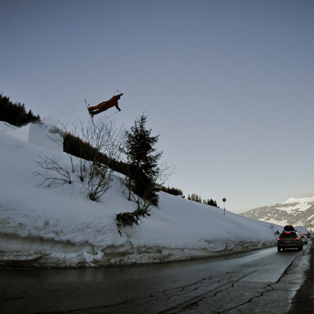
Went to Hochfugen boarding in 2012 , what an unexpected experience !
We had some epic powder and with this the area was sweet as!
Some great tree runs and nice pistes too , fast lifts.
Even without the powder this place would be good for keeping intermediate /advanced riders happy enough with some nice pistes on offer.
Whitelines have just had it in their top 5 of 10 hidden gem resorts , if your in the Zillertal valley then make sure you check this place out.
As for staying and eating there, there are only a couple of hotels and a couple of pubs we seen so would imagine it would be quiet at night although just down the road Is Fugen which had much more going on and most people staying here were heading up to Hochfugen each day to Ski/Board on a 10 minute bus ride.
O widget abaixo das condições do tempo para esqui na estação Hochfügen está disponível gratuitamente para ser postado nos sítios externos. Ele disponibiliza um resumo diário do nosso prognóstico de neve e das condições atuais do tempo para Hochfügen. Simplesmente vá à página de configuração de avisos e siga três passos simples para adquirir o código html adequado e copie no seu website. Você pode escolher o prognóstico de neve para altitudes (pico, média elevação ou base) e as unidades métricas ou imperiais para exibir de acordo com a sua preferência no seu website.... Clique aqui para obter o código


 Nearest