Últimos 6 diasRole para a esquerda para os últimos 6 diasAgora
Next 3 days weather summary:
Chuva intensa (total 27.0mm), mais intensa durante Quarta à noite. quente (máx. 28°C na Segunda à tarde, mín 16°C na Terça à noite). o vento será geralmente fraco.
Dias 4-6 Alpbachtal Resumo do Tempo
Chuva intensa (total 40.0mm), mais intensa durante Sexta à tarde. quente (máx. 29°C na Qui à tarde, mín 12°C no Sábado à noite). o vento será geralmente fraco.
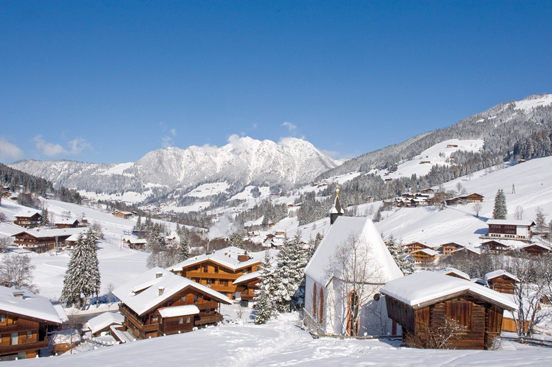
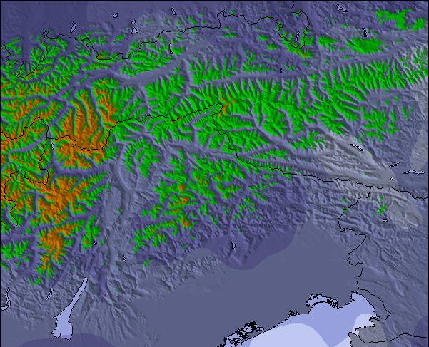
As tabelas acima dão a previsão do tempo para Alpbachtal à altitude específica de 813 m. Nossos sofisticados modelos de tempo permitem-nos obter a previsão de neve para estações no topo, na parte média e na baixa de Alpbachtal. Para acessar a previsão do tempo para outras elevações, utilize o botão tab acima da tabela. Para uma visão mais ampla do tempo, dê uma olhada em Weather Map" of Austria.
Click here para ler mais informações sobre os níveis de congelamento e de como nós prevemos nossas temperaturas.
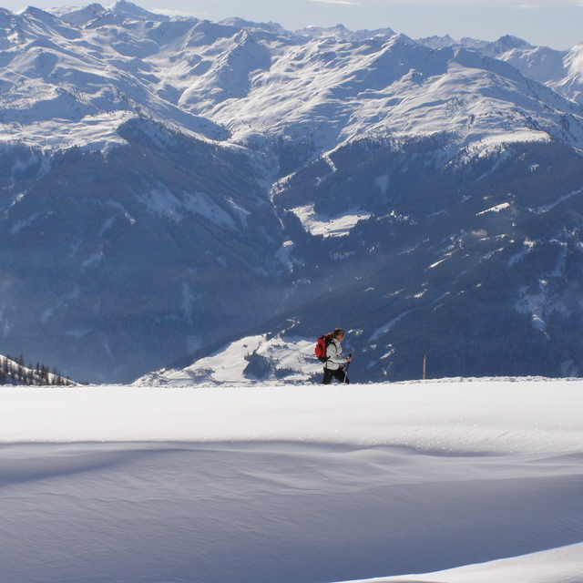
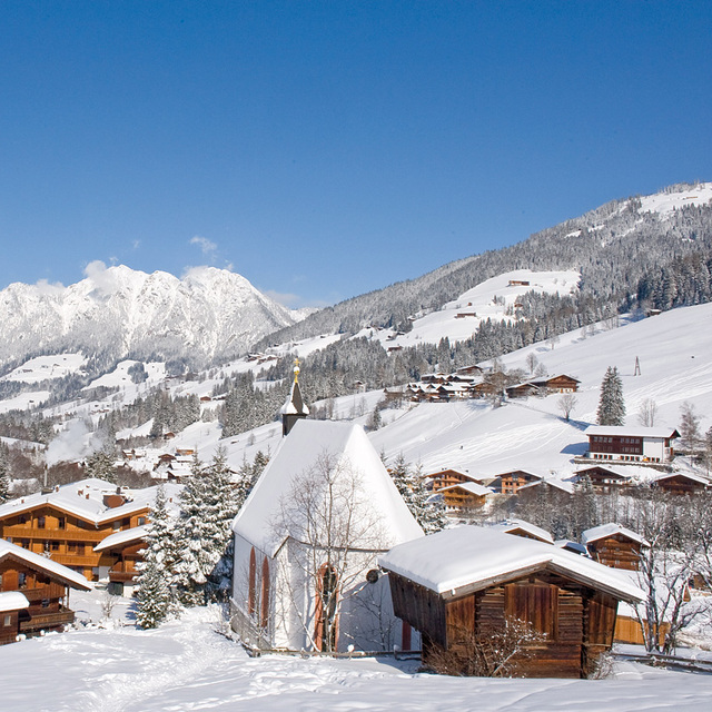
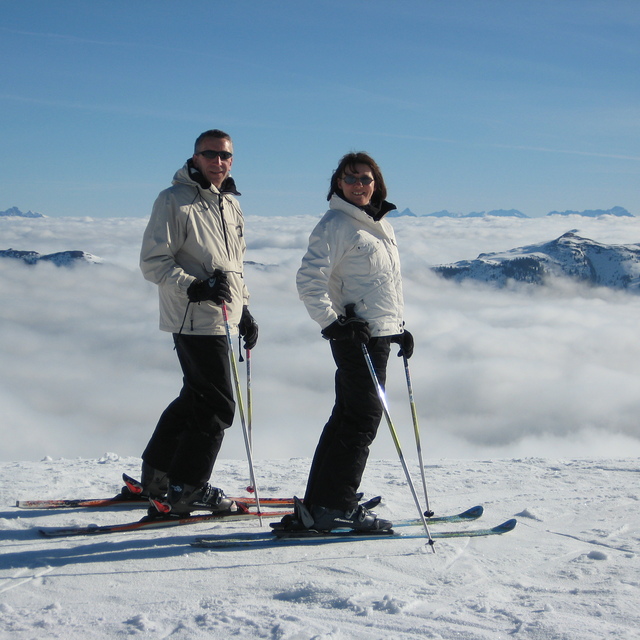
Just returned from a five night trip to Alpbach and have to say it was the best skiing holiday we have ever had in 22 years of skiing.
We booked independently, flights via Easyjet, Gatwick/Innsbruck, Taxi and Alpbacherhof Hotel and saved a great deal on the Inghams price.
The Hotel is excellent, great food, superb Spa area and very friendly and helpful staff. Hotel staff organised the taxi, lift passes etc (who needs a rep?)
The ski area was just what we wanted as it was our daughters second skiing holiday and conditions were perfect and she was going down black runs on day 2.
Austria has always been our favourite choice but we wanted a change, we read the previous reviews and Alpbach did not disappoint.
We will be going back asap.
O widget abaixo das condições do tempo para esqui na estação Alpbachtal está disponível gratuitamente para ser postado nos sítios externos. Ele disponibiliza um resumo diário do nosso prognóstico de neve e das condições atuais do tempo para Alpbachtal. Simplesmente vá à página de configuração de avisos e siga três passos simples para adquirir o código html adequado e copie no seu website. Você pode escolher o prognóstico de neve para altitudes (pico, média elevação ou base) e as unidades métricas ou imperiais para exibir de acordo com a sua preferência no seu website.... Clique aqui para obter o código


 Nearest