


View forecast
Diedamskopf at 850 m altitude
Emitido por Snow-Forecast.com em: 7 am (hora local) / 03 May 2024
Now
Friday 3 | Saturday 4 | Sunday 5 | Monday 6 | Tuesday 7 | Wednesday 8 | Thursday 9 | |||||||||||||||
manhã | tarde | noite | manhã | tarde | noite | manhã | tarde | noite | manhã | tarde | noite | manhã | tarde | noite | manhã | tarde | noite | manhã | tarde | noite | |
chuva fraca | chuva fraca | chuva fraca | nublado | chuva fraca | aguaceiros | nublado | chuva fraca | chuva fraca | aguaceiros | chuva mod. | chuva forte | chuva fraca | chuva fraca | chuva forte | chuva forte | chuva fraca | chuva fraca | chuva fraca | aguaceiros | aguaceiros | |
km/h | |||||||||||||||||||||
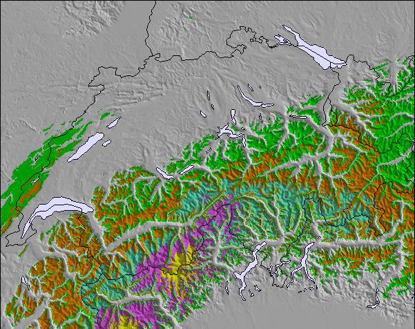
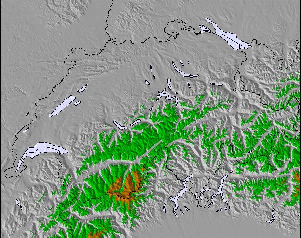
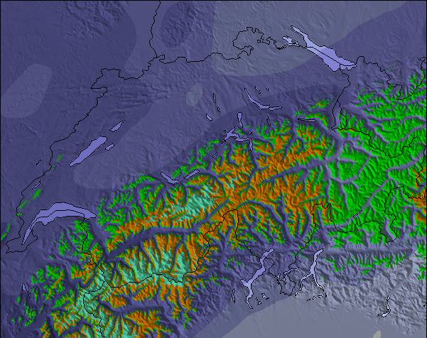
Snow map |  |  |  |  |  |  |  | ||||||||||||||
cm | — | — | — | — | — | — | — | — | — | — | — | — | — | — | — | — | — | — | — | — | — |
mm | 4 | 2.0 | 4 | — | 1.0 | 1.0 | — | 1.0 | 2.0 | 1.0 | 6 | 11 | 5 | 5 | 13 | 14 | 3 | 3 | 1.0 | 2.0 | 1.0 |
max°C | 6 | 9 | 7 | 11 | 14 | 11 | 14 | 15 | 12 | 14 | 10 | 8 | 8 | 9 | 7 | 5 | 7 | 6 | 9 | 11 | 9 |
min°C | 6 | 8 | 6 | 7 | 13 | 8 | 10 | 15 | 9 | 12 | 8 | 7 | 7 | 8 | 6 | 5 | 7 | 5 | 6 | 11 | 5 |
chill°C | 5 | 8 | 6 | 7 | 13 | 8 | 10 | 15 | 8 | 12 | 7 | 7 | 6 | 6 | 5 | 5 | 7 | 5 | 5 | 10 | 4 |
Humid.% | 98 | 82 | 95 | 70 | 65 | 81 | 63 | 67 | 89 | 73 | 98 | 92 | 89 | 93 | 99 | 99 | 96 | 93 | 78 | 69 | 81 |
Nível de congel. (m) | 1750 | 2050 | 1900 | 2500 | 2600 | 2700 | 2750 | 2900 | 2800 | 2750 | 2400 | 2100 | 2000 | 2100 | 1850 | 1750 | 1950 | 1800 | 2100 | 2400 | 3100 |
5:58 | — | — | 5:58 | — | — | 5:56 | — | — | 5:54 | — | — | 5:52 | — | — | 5:52 | — | — | 5:50 | — | — | |
— | — | 8:34 | — | — | 8:35 | — | — | 8:37 | — | — | 8:37 | — | — | 8:38 | — | — | 8:40 | — | — | 8:42 | |
Resumo meteorológico dos próximos 0-3 dias:
chuva mod. (total 15.0mm), mais intensa na Sexta de manhã. Muito leve (máx. 15°C no Domingo à tarde, mín 6°C na Sexta de manhã). o vento será geralmente fraco.
Resumo meteorológico dos próximos 4-6 dias:
Chuva intensa (total 61.0mm), mais intensa durante Quarta de manhã. Muito leve (máx. 14°C na Segunda de manhã, mín 5°C na Quarta de manhã). o vento será geralmente fraco.
Popular Diedamskopf Pages
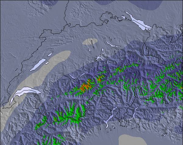
Radar de Neve
Submete um relatórioÚltimos relatórios de neve perto de Diedamskopf:
26 km Ausente de Diedamskopf
2 hour atrás
Rain reported from Feldkirch at 440 metres elevation 9 kms WSW of Laternser Tal but it is forecast cold enough for snow at higher elevations in the ski area de Laternser Tal
34 km Ausente de Diedamskopf
2 hour atrásRain reported from Brand at 1032 metres elevation 9 kms W of Golm but it is forecast cold enough for snow at the ski area de Golm
26 km Ausente de Diedamskopf
4 hour atrásRain and snow or hail reported from Oberstdorf at 723 metres elevation 6 kms SW of Oberstdorf-Nebelhorn but it is probably falling as rain at the bottom of the ski area de Oberstdorf-Nebelhorn
Diedamskopf Condições de neve
| Profundidade da neve no topo | 0 cm |
|---|---|
| Profundidade da neve mais baixa | 0 cm |
| Profundidade da queda de neve fresca | 1 cm |
| Quando foi a última vez que nevou? | 2 May 2024 |
Outras estâncias em Austria estão a reportar: pó (2) / pista boa (2)
Snow-Forecast Partner Offers
Show your business here
Histórico de Neve
Semana 1 do mês May teve uma média de:
0.0 | Dias de sol com neve pó Neve fresca, principalmente ensolarado, vento fraco. |
|---|---|
0.0 | Dias de neve pó Neve fresca, sol limitado, qualquer vento. |
0.0 | dias de sol Neve média, na maioria das vezes ensolarado, vento fraco. |

Fotografias de Diedamskopf
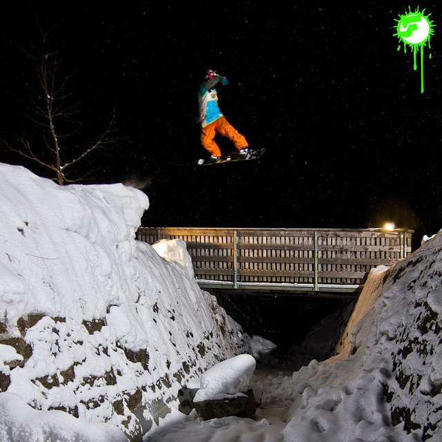
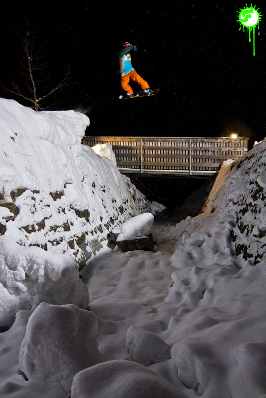
2012-02-02 | GapSession by SnowFront
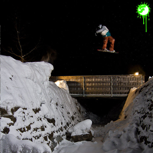
2012-02-02 | GapSession by SnowFront
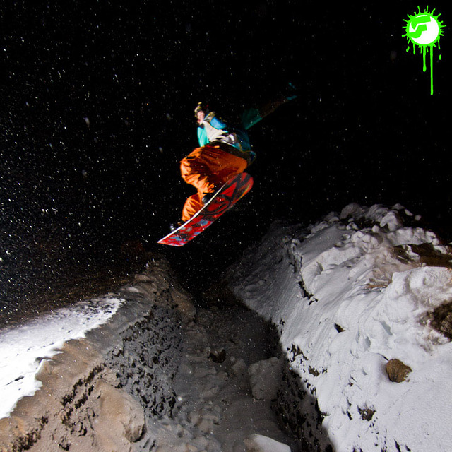
2012-02-02 | GapSession by SnowFront
Outras estâncias em Austria estão a reportar: pó (2) / pista boa (2)
As tabelas acima dão a previsão do tempo para Diedamskopf à altitude específica de 850 m. Nossos sofisticados modelos de tempo permitem-nos obter a previsão de neve para estações no topo, na parte média e na baixa de Diedamskopf. Para acessar a previsão do tempo para outras elevações, utilize o botão tab acima da tabela. Para uma visão mais ampla do tempo, dê uma olhada em Weather Map" of Austria.
Click here para ler mais informações sobre os níveis de congelamento e de como nós prevemos nossas temperaturas.
Avaliações dos visitantes de Diedamskopf
Widget grátis do Snow-Forecast.com para seu site
O widget abaixo das condições do tempo para esqui na estação Diedamskopf está disponível gratuitamente para ser postado nos sítios externos. Ele disponibiliza um resumo diário do nosso prognóstico de neve e das condições atuais do tempo para Diedamskopf. Simplesmente vá à página de configuração de avisos e siga três passos simples para adquirir o código html adequado e copie no seu website. Você pode escolher o prognóstico de neve para altitudes (pico, média elevação ou base) e as unidades métricas ou imperiais para exibir de acordo com a sua preferência no seu website.... Clique aqui para obter o código
Veja a previsão de neve detalhada para Diedamskopf em:
snow-forecast.com

 Nearest